Harrison, ID - Haugan, MT
http://cyclemeter.com/85ef50859d8f1e5c/Cycle-20150727-0734
Distance: 78.2 miles
Riding time: 6:10
Average speed: 12.6
Maximum speed: 25.5
Weather: 50° at 7:30 warming to the low 60s; alternating sun, clouds, with a little light rain that I avoided by waiting a few minutes. I did see a bank thermometer dropped from 60° to 56° in two minutes when some rain came through. In the afternoon and a tail wind of 10 mph came out of the west southwest.
Terrain: uphill 3026, downhill 3389. The route profile below shows an uptick at about the 63-mile mark - this is explained toward the end of this post. The profile also shows an extraordinary 15-mile downhill, the longest of my life.
My route is shown below. I followed the Trail of the Coeur d'Alenes bike trail for the Idaho portion of the ride. After the gap in the route, the segment on the right is in Montana.
 |
| Chain of lakes panorama. The Trail of the Coeur d'Alenes bisects the photo. |
 |
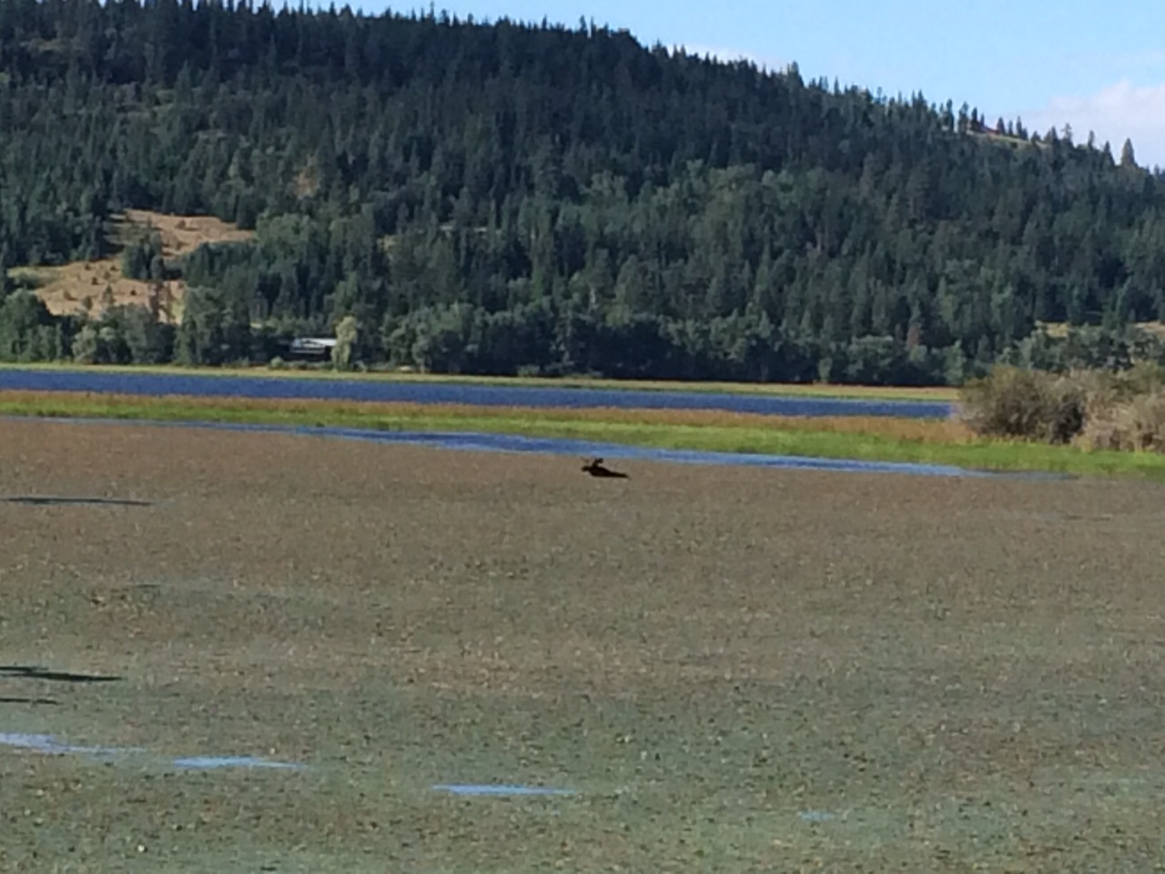
| Moose in the water. |
I was steeling myself for a big 5-mile climb of 1,500 feet on I 90 up Lookout Pass but then I saw the sign below at the beginning of the hill. I called the number and 5 or 10 minutes later a highway employee drove me to the top of the hill in a van. This portion of I 90 was undergoing repair and there was not enough room for traffic and bicycles.
 |
| My Cyclemeter app did not record any movement of my bicycle when the van carried my bike and me up the big hill. |
The 15-mile downhill was a bit tense for me a few times because of several pulses of fast moving, heavy traffic and of accumulated grit on the shoulder but mostly vehicles moved over to the left lane giving me plenty of room on the wide shoulder.


No comments:
Post a Comment