Colbert, WA - Harrison, ID http://cyclemeter.com/85ef50859d8f1e5c/Cycle-20150726-0910
Distance: 64.3
Riding time: 5:21
Average speed: 11.9 mph
Maximum speed: 29.1 mph
Weather: 60° in the morning, sunny, headwind from south 8-10mph. In the afternoon temperatures were in the high 60s. It was still sunny, but the wind shifted , giving me a 10 mph tailwind from the west.
Terrain: uphill 2453, downhill 2140. The flat segment at the end of the route profile is the bike trail along Coeur d'Alene Lake.

My route went through the eastern side of the Spokane Metropolitan Area, the wheat and grass country of the eastern edge of the Palouse region, and recreational areas around Lake Coeur d'Alene. A dashed north-south line depicts the Washington/Idaho border on the route map below.
 |
| A screen capture of my route overlaid on a Google Map in Terrain view. My Cyclemeter phone app records ride data and route maps. |
The start of a trip is a joyous occasion.

 |
| The fertile lava-based soils of Washington's Palouse region produce wheat and grass. A man in the local history museum at Rockford, WA told me that after the Mount St. Helens eruption in 1980 many local farmers were worried because of the thick layer of ash deposited on their fields but instead they got two of their best years ever. |
 |
| Palouse wheat. |
 |
| A local history museum in Rockford, WA has a fascinating quilt depicting various aspects of places in the region. |
 |
| Crossing the line. |
 |
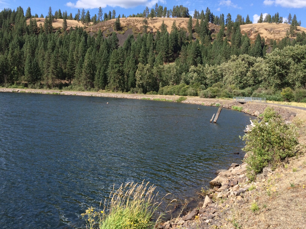
| Heyburn State Park on Lake Coeur d'Alene. |
 |
| Bicycle bridge in Heyburn State Park. |
 |
| Bicycle bridge in Heyburn State Park, closer up. This bridge is in the westernmost part of the beautiful bike trail called Trail of the Coeur d'Alenes. |
 |
| Two cyclists enjoy the Trail of the Coeur d' Alenes (they are to the left of the bridge). |
You certainly look joyous.
ReplyDelete